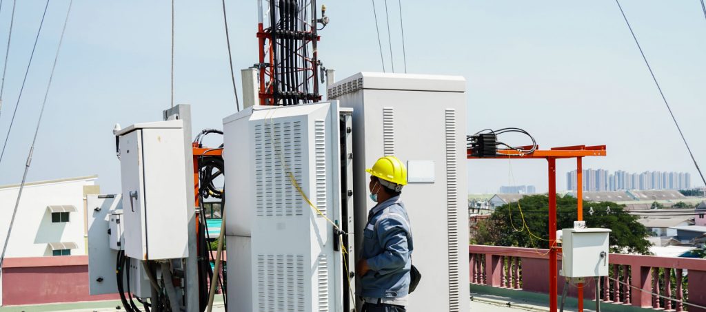
EMF Survey

We conduct an EMF test and provide the report of its measurement as per the guidelines of the TERM cell.
Magnetic Compass is used to determine azimuths
Offer a soft and hard version of the layout.
Scope of Work.
Photograph of the roof/GBT showing the site's layout (Tower Site/BTS Shelter Location and Antennae/Water Tank).
Photograph of Roof Top Tower or Rooftop Pole or Ground-based Towers with antennas mounted and the points C1, C2 and C3.
Panoramic images start at zero degrees N, with a space of 30o.
Image of the clutter to the right of the radiating antennas for all sectors.
Photograph of buildings surrounding them within a 20 Mtr radius, identified on the photograph by B1 and B4...
Cameras with a resolution of at least 5MP are required to take photographs.
Give a soft and hard duplicate of the photo.
